Went to Hong Islands on an early morning of 19th Febuary, 2017. Before reaching the Hong islands, we went to two other nice islands in Krabi, and had nice 2 battery flights over the two islands. Kept the last battery for the mega Hong islands. Reached Hong at around 1pm, it was very very hot and sunny day, with sun right on the top of the Hong islands.
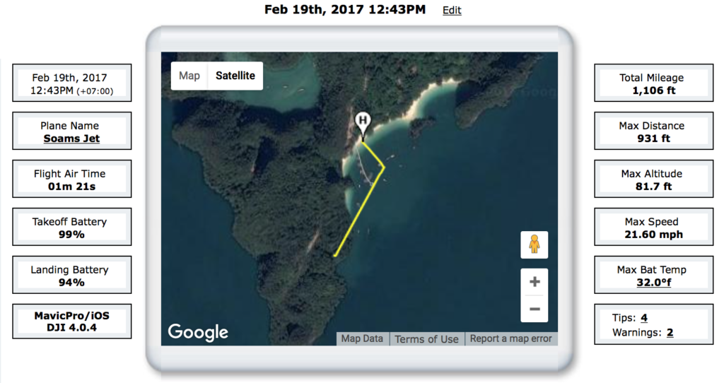
Took off from the beach and pulled out to the ocean straight , as I needed a full view of the hong islands and then needed a POI footage for the Krabi movie which Im working on.
HOW DID IT CRASH
It was way too bright and I could not see anything in the sky. Normally I fly seeing the screen only, as the mavic is too small and it almost goes invisble after 50-60 meters into the sky. Just after few minutes into the flight, suddenly my screen was full of a tree branch view.
I knew, my aircraft has crashed.
HOW DID I RECOVER IT
Immediately, started running to the boat guys and hired a private boat for 50 USD (3000 INR), and went towards the aircraft point. DJI has some nice features, which exactly tells you how far are you from your aircraft and how high is it from you, even if its crashed. But you have to make sure, your aircraft has battery, or there is no way you can recover it. I always fly with 100% battery with start, so I was safe. By the time, it crashed, it had 97% battery, so I knew, I just have 30-40 minutes to recover the bird, or its gone.
I was not worried of losing the mavic, but I was worried about my last 4 days of shoot footages.
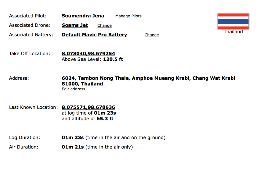
So, I kept on looking at the controller and directing the boat guy to follow my direction. It was 181 meters far from me and 42 meters high from me, so it was clear that the mavic is hanging somewhere in the top of the hill in some tree branch. We followed to the direction, until the distance became 1 meter from 181 meters. Then we started looking to the top and finally, my boat guy could see the red flashing lights. I still had 56% of battery life left. I saved the home position as my controller position, as we had to go get a pro climber for this steep vertical hill of Hong islands. We rushed to the shore again and got a thin climber who doesnt speak english at all. We reached the position again, with the DJI GPS location of home point and he started climbing. It took him 1 hour to go to the top and return back.
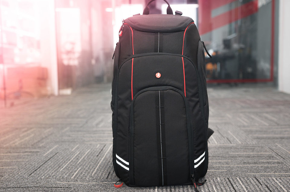
Paid him 250 USD (12000 INR) for this impossible job. The mavic was recovered nice and easy. No damage except the propellers, which can be replaced within 1 minute from my bag.
Got back to hotel and again calibrated everything with the help of DJI Assistant 2 and everything was still perfect. No damage to any motors or whatsoever.
INVESTIGATION REPORT
After getting back to Hotel, I immediately synced the DJI Flight Logs and started investigating at HD Log book. Found that, just when I was composing the frame, the mavic was already pointing backwards into the tall hills, which was not visible to the naked eyes due to the bright sun.
FINAL VERDICT
It was purely a pilot error. Im in love the artificial intelligence of DJI. Due to their sensors and GPS, I could locate the aircraft, which was almost lost in a lone island already. Total damage for my own error is 250 USD, but I totally accept it as my fault.
Here are the mistakes I did,
- RTH I should have set to atleast 60 meters, but I kept it at 30 meters, since I did not expect the hills to be so high.
- I should have gone much higher during the composition, but I only went 24 meters high.
- I should have taken a closer look at the curved hill before the flight, which actually played the major role in the crash sight.
- If it was sunny, I should have atleast made sure to fly straight angle to me, not angled it without watching the circled hills.
- I should have flown straight ahead first to get the path overview and then flown backwards for the composite shot.
